National Geographic Society Q&A: The Global Water Gap Issue
Freshwater is essential to life, yet its availability is increasingly under threat.
From agriculture to industry and daily human use, demand for water continues to rise, often outpacing supply.
This growing imbalance, known as the global water gap, is driven by factors including climate change, drought, pollution and population growth.
At the forefront of tackling this challenge is the National Geographic Society, which launched the World Freshwater Initiative in 2023.
Combining scientific modelling, education and storytelling, the initiative aims to raise awareness of global water issues and inspire action.
Alex Tait, the Geographer at the National Geographic Society shares his knowledge with Sustainability Magazine.
Please introduce yourself and your role.
I’m Alex Tait, the Geographer at the National Geographic Society.
Thirty years after interning at the National Geographic Society (“the Society”), I returned as The Geographer in 2016!
Before finding my way back to the Society, I founded a company dedicated to custom mapping and information graphics and also worked as a boundary expert.
As for my academic background: I studied geography at Dartmouth and earned a master’s in mapping and geographic data from the University of Wisconsin.
What are some of the most significant challenges facing the world’s freshwater supply?
We need water for agriculture, for industrial use and for everyday use in our homes.
But in many places, there isn’t enough to go around, because of availability or quality issues.
This mismatch between global water supply and unmet demand is what we call “the water gap”.
It’s a global issue that’s exacerbated by pressures including population growth, drought and climate events and groundwater depletion.
The Society’s World Water Map helps identify where in the world water gaps are occurring and why.
How is the National Geographic Society working to protect and preserve freshwater?
We launched the World Freshwater Initiative in 2023, with National Geographic Explorer Marc Bierkens and his team at Utrecht University, as well as Esri and the Visualisation for Transparency Foundation.
The Initiative combines science, storytelling and water literacy to alert audiences to emerging water issues and how they affect people, communities and nature; but also to inspire sustainable practices and tell stories of hope and solutions.
One key part of the Initiative is the World Water Map, which is built on one of the world’s most comprehensive models of global hydrology out of Utrecht University.
The World Water Map shows both the global and the local watershed scale of freshwater availability - based on 10 x 10 kilometer gridded data.
We have also since launched an enhanced version of the World Water Map, called World Water Map: Insights.
That version includes enhanced visualisation and summary data for countries, watersheds and water provinces, to better analyse trends in water availability and demand.
It also allows you to visualise and project water availability under different future climate scenarios, all the way through 2100.
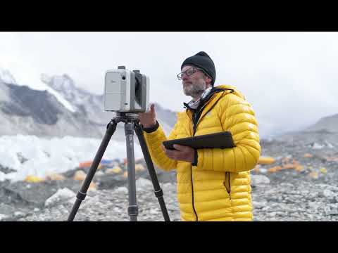
The World Freshwater Initiative also supports 20 National Geographic Explorers around the world, who are working on freshwater conservation, education and storytelling projects.
Their work is featured on the World Water Map, to bridge data with real stories of how communities are experiencing and responding to water challenges around the world.
How does mapping play a role in protecting water for people and nature?
Maps and geography have always been a significant part of the Society’s work.
National Geographic has a long legacy of championing geo-literacy, developing maps, creating resources and elevating our Explorers who are using the geographic approach in their work.
Mapping, particularly through Geographic Information Systems (GIS), plays an incredibly vital role in protecting freshwater for both people and nature.
Crucially, maps help us visually understand and monitor water resources over time so we can identify and manage threats to surface and groundwater sources while driving conservation resources to watersheds that need it most.
How did the idea for the World Freshwater Initiative come about?
The inception of the program came from the question “how can we measure the status of life on earth?”
My colleagues across the Society decided we'd begin with water.
Why? It’s fundamental to life on our planet.
It also underpins much of the Society’s mission work to illuminate and protect the wonder of our world.
At the Society, we are also uniquely positioned to reach millions of people, thanks to our education and our media partners at Disney.
Often, the people you see highlighted on these channels are National Geographic Explorers – changemakers who promote and uncover freshwater solutions.
This dates back long before the World Freshwater Initiative was launched.
For example, in 2011, National Geographic Explorer and winner of the Stockholm Water Prize, Sandra Postel, worked on the first major freshwater initiative through a rivers mapping project at the Society.
More than 10 years later, we launched the World Freshwater Initiative at the 2023 UN Water Conference to deepen our impact in protecting and preserving freshwater.
How can sustainability leaders in different industries use the World Water Map for decision-making and to hopefully reduce their water footprint?
We’ve created three versions of the map to serve different audiences:
- The original World Water Map helps people understand the global water gap and see stories from Explorers on the ground.
- MapMaker: World Water Map allows educators and learners, mainly grades 5-12, to evaluate the same water demand and gap data to build and explore their own maps.
- The advanced version, called World Water Map: Insights, is designed for those who want a deeper dive into water challenges, with expanded datasets, future projection capabilities and tools to create your own visualisations. It’s especially helpful for guiding decision-making for sustainability leaders, policymakers, scientists and conservationists.